


Tank in the Moors Walking Route
While researching the tank’s location – and wondering why people were so vague about it – I eventually found a walking route that passed the Tank in the Moors on komoot.com, the walking and cycling route planning software I use. The walk is less than five miles long and covers some lovely ground up and over the summit of Ramshaw Ridge. If you want to attempt this walk, please use the “Discover more info about this tour” link on the map to either follow the route on your mobile device or to download a gpx file.
We parked our car in a layby along Hazel Barrow Lane near to the crossroads by the Winking Man pub. The weather wasn’t quite as predicted. The so-called sunny spells were more like grey and drizzle, which made taking photos rather difficult (Note, I’m getting my excuses in quickly!). https://www.komoot.com/tour/1640976107/embed?share_token=a07X4Xy98TNPRWsiKuW0Sr5yNn1KpcVk13vBzL1cvlk76Y9LtH&profile=1
We left the car and crossed the A53 road to the small road opposite and went down hill past the side entrance to the Winking Man pub. The first mile of this walk follows this road, and the views to Ramshaw Ridge would have been wonderful on a clear day. With the low cloud and drizzle we had, even the purple heather couldn’t enhance the dreary scene.
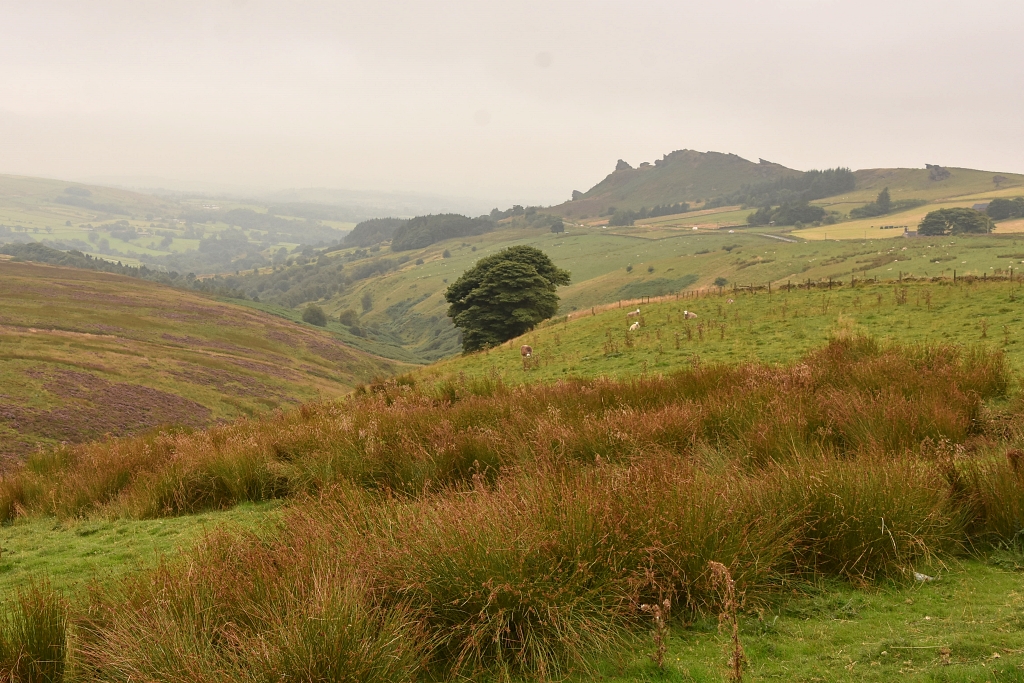 The Murky View Across the Moor to Ramshaw Ridge © essentially-england.com
A touch of excitement crept up on us as we looked for the footpath on the right that would take us across the moor to see the tank. This was something I had wanted to find for some time, and I’ve loved working out a way to do it.
Along the road section we passed warning signs for the firing range and to look out for the red flags when the area was in use.
It seemed to take forever to cover this first mile along the road, but we eventually reached the footpath across the firing range and on to the tank in the moors.
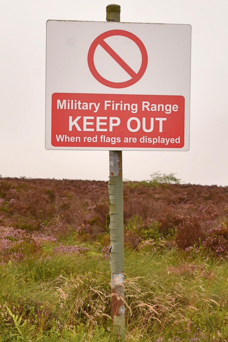 Firing Range Warning Sign
© essentially-england.com
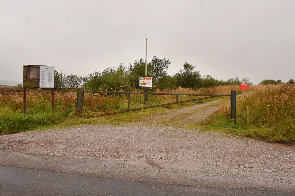 The Footpath Across the Moor Towards Ramshaw Ridge © essentially-england.com
According to the published firing range times, the range was open. And as we saw no red flags and couldn’t hear any firing, we ventured down the gravel path. The track was easy to walk and easy to follow, and after a few minutes it turned left and descended, giving views across the moorland. The shells of a few brick and stone buildings caught our eye, and beyond those we could just spy the top of the tank!
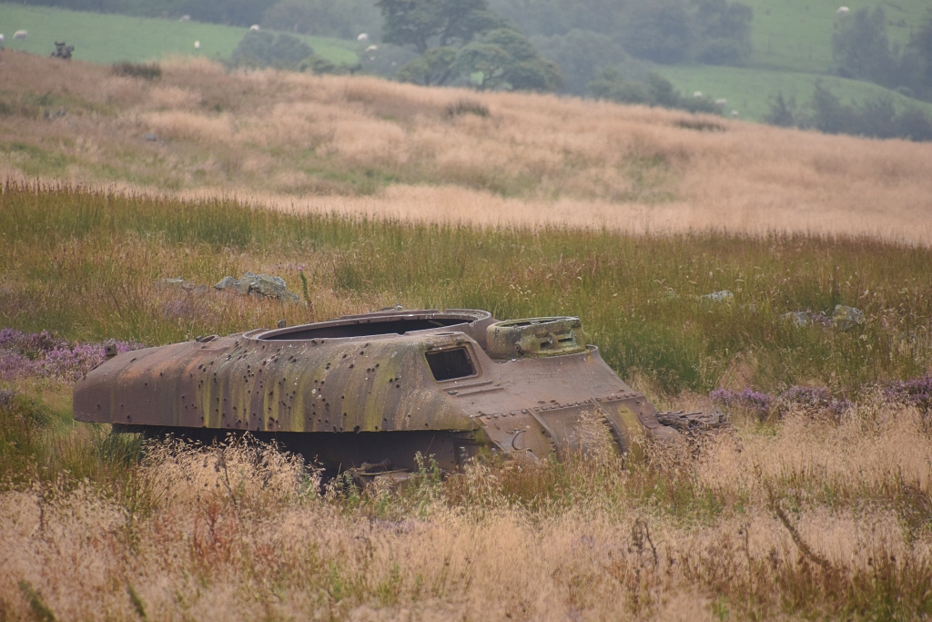 The Tank in the Moors is Riddled with Bullet Holes © essentially-england.com
My initial pleasure at finding this abandoned tank in the moors soon turned to disappointment as we found a fence with what looked like fresh barbed wire and very new, bright red warning signs closing off the path. I used the full 300 mm zoom on my camera to follow the fence to try and find a gate or stile to enter the wired-off enclosure, but couldn’t find an entrance. A worn path was visible on the other side of the fence closest to the stone buildings, but we weren’t prepared to climb the fence to get to it – and I resigned myself to taking photos from a distance and higher ground.
Checking on Google maps when we got home, I found that these bright red warning signs are relatively new. The Google Street View image for the start of the footpath – dated September 2023 – doesn’t show a sign.
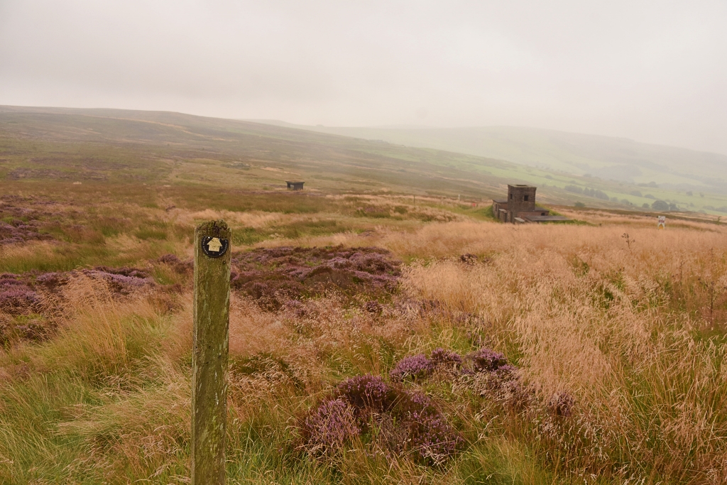 The Footpath Across the Moors to Ramshaw Ridge © essentially-england.com
After the disappointment of failing to reach the tank in the moors, we backtracked to the wooden footpath sign to start crossing the moorland towards Ramshaw Ridge. Rocks, heather, and tussocks of grasses mingled and finding stable footing was tricky. After a couple of falls within the first few hundred metres we reached a boggy section with that horrible black ooze that makes a mess of your boots and trousers. At this point, we decided to abort the planned walk as the drizzle had started again, and we couldn’t find a sensible way through the boggy part. So sadly, we retraced our steps to the car.
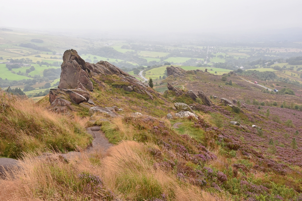 Walking the Ramshaw Ridge © essentially-england.com
Another disappointment, but… we didn’t let that deter us from our day out! We love rocky outcrops and were determined to explore Ramshaw Ridge, even if that meant revising our route. Besides, we had to find the iconic rocks of the Winking Man, Ramshaw Serpent, and the Hanging Stone! So, we passed our car, carried on down the hill, and approached Ramshaw Ridge from the other side. And we were not disappointed!
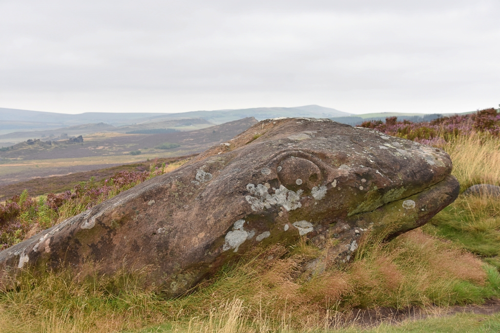 The Ramshaw Serpent © essentially-england.com